
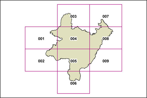
PLEP Terrestrial Biodiversity Map
The Terrestrial Biodiversity Map identifies land in the Palerang LGA to which Clause 6.7 Environmentally sensitive land – biodiversity of the draft PLEP applies.
This is the map from the 2012 exhibition draft of the PLEP (Dec 2012). An updated [2013 exhibition draft] version will be available as soon as it is released.
Click on the different panels on the map below to display detailed Biodiversity Maps of the individual areas.
A more detailed locality map, covering the Palerang LGA, is available by following the Palerang Map link in the left side menu.