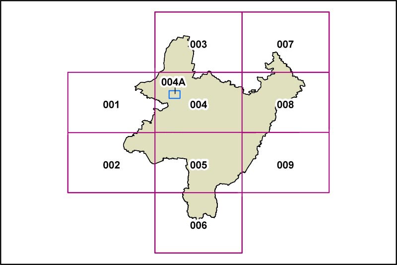
PLEP Flood Planning Map
The Flood Planning Map identifies that part of the LGA that is subject to planning restrictions due to its location within a flood prone area.
This is the map from the 2012 exhibition draft of the PLEP (Dec 2012). An updated [2013 exhibition draft] version will be available as soon as it is released.
Click on the different panels on the map below to display detailed Flood Planning Maps of the individual areas. At the present time, the only part of the Palerang LGA affected by this requirement is the area of Bungendore in the vicinity of Turallo, Halfway and Mill Post Creeks, and the only currently active portion of the map below is Area 004A.
When the relevant studies are complete, Braidwood and Captains Flat will also be subject to flood planning, and the appropriate maps will be included at that time.