
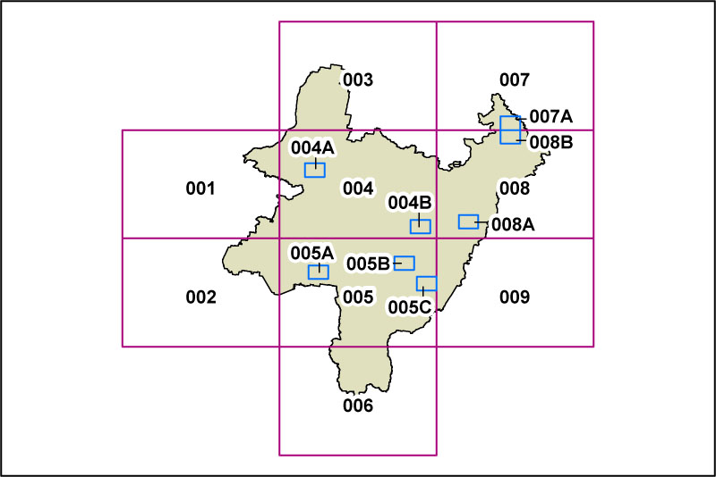
PLEP Lot Size Map
The Lot Size Map, referred to at various points in the draft PLEP, identifies the minimum lot sizes applicable throughout the Palerang LGA.
This is the map from the 2012 exhibition draft of the PLEP (Dec 2012). An updated [2013 exhibition draft] version will be available as soon as it is released.
Click on the different panels on the map below to display detailed Lot Size Maps of the individual areas. Click on the small blue rectangles to display detailed Lot Size Maps of the individual towns and villages.
A more detailed locality map, covering the Palerang LGA, is available by following the Palerang Map link in the left side menu.